© This image contains data from a satellite in the Copernicus Programme
Remote sensing is the process of detecting and monitoring the physical characteristics of an area by measuring its reflected and emitted radiation at a distance. From the air this is typically achieved from a satellite, aircraft or drone.
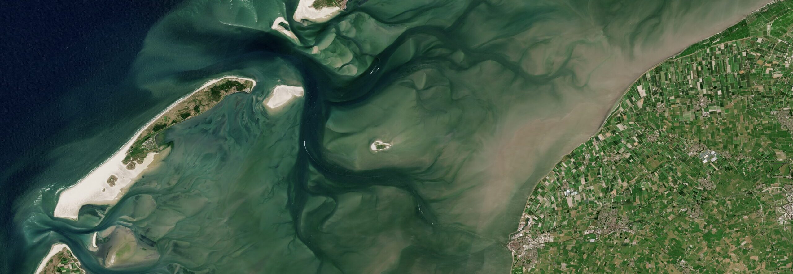
In the marine environment remote sensing from the air can become more challenging due to poor visibility in coastal waters. Such challenges are difficult to overcome due to the inherent dissipative nature of light waves in seawater.
However, recent technological developments of hydroacoustic and optical remote sensing technologies which include multibeam echosounders (MBES), Synthetic Aperture Sonar (SAS), satellite-derived bathymetry (SDB), underwater photogrammetry and bathymetric LiDAR is resulting in major advances in the qualitative and quantitative depiction of the seafloor.
The application of remote sensing to the mapping of seagrass ecosystems is a rapidly growing field.
Read more on remote sensing here: frontiers.org